
Sacramento (USA) 3D Map was produced as pilot project for accurate planning of 5G network
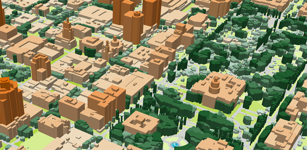
Digital Terrain Model (DTM), Digital Surface Model (DSM), highly accurate 3D Buildings with roof details, 3D Vegetation up to alone standing trees with heights, Clutter/Land Use/Land Cover Model, Obstacles Heights (Clutter Heights) Model, Vector model, Transportation networks etc.