
New Geospatial Data for Sierra Leone
As infrastructure and urban development projects continue across West Africa, access to reliable geospatial data becomes increasingly important for planning and analysis.
As infrastructure and urban development projects continue across West Africa, access to reliable geospatial data becomes increasingly important for planning and analysis.
Together with Visicom, boodmoe expands African Geospatial Coverage. Urban growth across West Africa continues to accelerate, creating increasing demand for accurate geospatial data for infrastructure, telecom, and urban development projects.
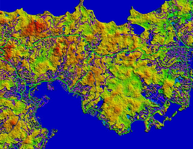
Hydrography is becoming increasingly complex. Data volumes continue to grow, project timelines are getting shorter, and the demand for accuracy and compatibility keeps rising.
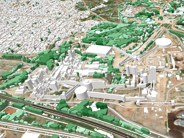
5G deployment today goes far beyond dense urban areas. Operators are expanding networks across entire regions— including suburban zones, rural territories, and infrastructure corridors.
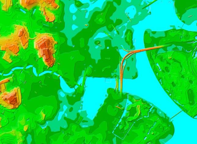
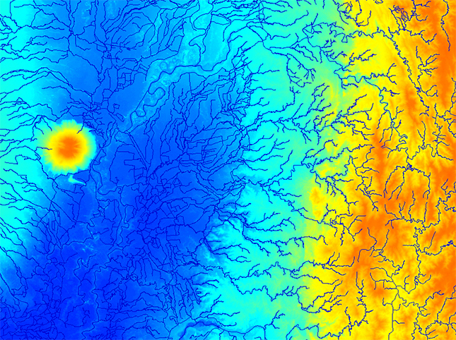
In most geospatial projects, elevation data plays a key role.
It is essential for terrain analysis, urban planning, telecom network deployment, hydrology, and 3D modeling.

boodmoe, is getting ready to take part in MWC Barcelona, which will be held from March 2 to 5, 2026. As the global telecom industry continues to evolve, we are proud to contribute advanced technologies to one of the world’s leading connectivity platforms.