Digital Elevation Models: How to Choose the Right One for Your Project
In most geospatial projects, elevation data plays a key role.
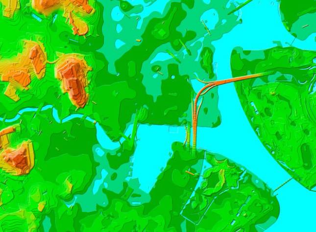
It is essential for terrain analysis, urban planning, telecom network deployment, hydrology, and 3D modeling.
In most geospatial projects, elevation data plays a key role.
It is essential for terrain analysis, urban planning, telecom network deployment, hydrology, and 3D modeling.