News
Our comprehensive geospatial data services cater to businesses globally, enabling them to conduct in-depth spatial analyses using top-quality maps.
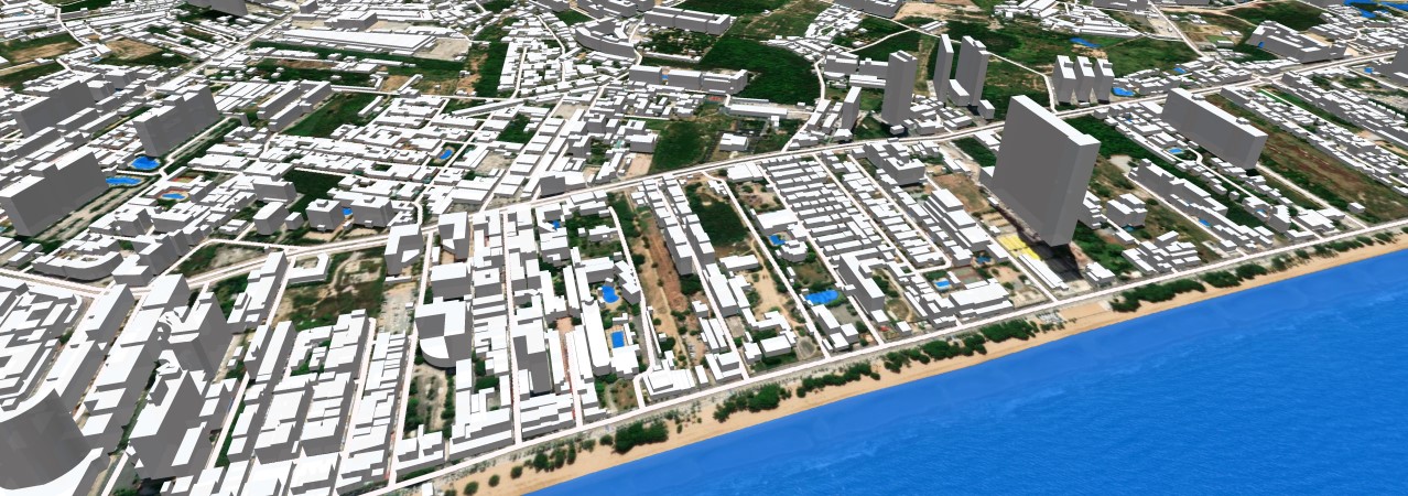
Creating tailored 3D NATIONWIDE COVERAGE for each unique project, we deliver precise geometry, high-resolution 3D structures, 3D vegetation, intricate road networks, detailed terrain data, and distinctive landscape features, ensuring accuracy for any location.
Our 3D BUILDINGS AND 3D TREES provide a high level of detail in both urban and rural areas.
3D data creates a complete Digital Twin of the country along with other layers of geodata used for Regional planning:
– Street-road networks
– Railways
– 3D Bridges
– Terrain
– Hydrography
– Land use
– Population density
Geodata is delivered in the formats of most GIS and radio planning tools.
In our research and development endeavors, we’ve pioneered a Convolutional Neural Network (CNN) model, meticulously trained on diverse sources. This model facilitates the seamless application of results customized to the specific characteristics of each country. Our team has also developed cutting-edge AI-powered algorithms that efficiently extract high-precision map features from satellite imagery, elevating the effectiveness of data creation processes.
Currently, 3D coverage across the country is available for:
UAE ▪ TURKEY ▪ BAHRAIN ▪ CROATIA ▪ CZECH REPUBLIC ▪ GREECE ▪ SLOVAKIA ▪ MEXICO ▪ TAIWAN ▪AUSTRIA ▪ MAKEDONIA ▪ VIETNAM ▪ THAILAND
We offer accurate 3D buildings and vegetation data as important components of multiple applications for a range of markets:
- Logistics
- Retail and marketing
- Fiber deployment
- Property development
- Solar energy
- Disaster recovery
- Environmental management
Our Case study: 3D Nationwide Coverage Based On AI Algorithms, is here
Explore our diverse portfolio of 3D nationwide mapping projects.
Witness firsthand how CNN technology provides:
- A realistic perspective
- Simulating true 5G environments and addressing various challenges in smart city development
- Offering solutions that are both easy to implement and cost-effective