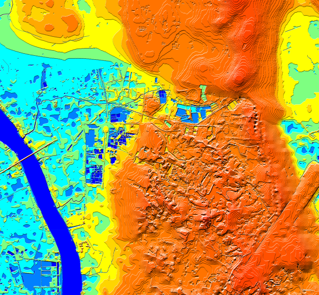
Digital representation of the earth’s terrain
Digital elevation models are an important component of many geospatial projects – architecture, engineering, telecommunication, transport management, Natural Resource Mapping, etc.
Depending on the aims of your project, the earth’s surface can be represented as:
- Digital Terrain Model DTM) – that is a ground surface;
- Digital Surface Model (DSM) – which includes ground surface, vegetation, and artificial objects;
- Digital Heights Model (DHM) – vegetation and man-made objects with heights attribute;
Digital elevation data are available in stock for 85+ countries worldwide and can be produced for any other territory on request in any RF planning tools and GIS format.
DTM, DSM, and DHM can be delivered separately or as part of other mapping products: including Regional Models, 2D, 2.5D, and 3D Models.