News
boodmoe LLC, in close collaboration with our partner company VISICOM, offers specialized maps optimized for hydrologic modeling, enabling precise analysis of drainage patterns across diverse landscapes – perfect for flood risk assessment and management.
Overview
Our nationwide water object coverage is a highly accurate vector dataset created using proprietary AI algorithms that process high-resolution satellite imagery. Depending on your project needs, we categorize hydrographic features into detailed groups and classes – by water type (saltwater, freshwater, etc.) and the specific nature of each feature – providing comprehensive attributes such as:
– Coastline length
– Surface area of enclosed water bodies
– Names of hydrographic objects in both English and local languages
Key Features
– Classification of water features into 31 distinct categories, including: oceans, seas, bays, estuaries, lakes, rivers, streams, reservoirs, springs, waterfalls, rapids, and more
– Rigorous manual quality assurance for topological accuracy
– Fully prepared datasets for hydrologic modeling, urban drainage planning, and flood simulation
Enhanced by
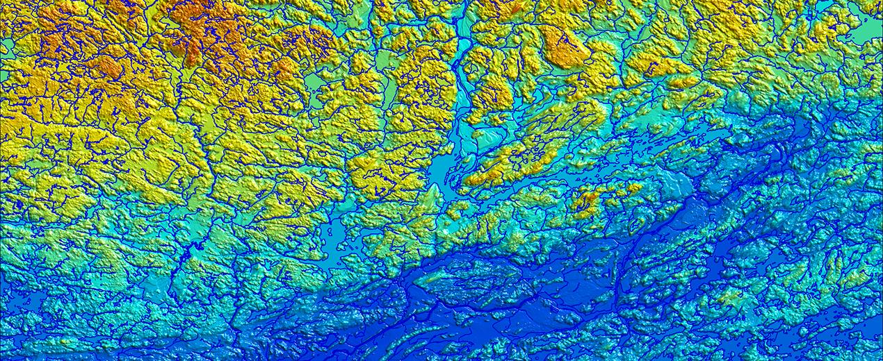
– Digital Terrain Models (DTM)
– Digital Surface Models (DSM)
– Detailed Land Use Maps
– 3D building layers
– High-resolution orthoimagery
Data Delivery
We provide data in standard or custom formats upon request, with seamless integration into your GIS and modeling software.
Flood Risk Mapping
Our hydrography data forms the foundation for precise Flood Risk Maps. These maps empower communities, planners, and authorities to visualize flood hazards and take proactive measures to minimize losses and mitigate risks. Flood Risk Maps enable you to:
– Model realistic water flow and drainage patterns
– Identify areas where flood risk has changed
– Assess potential impacts on homes, businesses, and infrastructure
– Prioritize upgrades to levees, flood walls, culverts, and other protective systems
– Support land use and zoning decisions
– Estimate potential economic and social losses
Contact us [email protected] for more details, free samples and case studies