
News
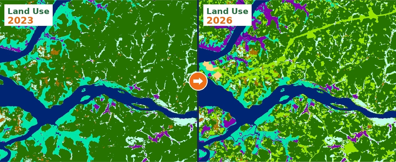
Modern digital maps are dynamic spatial datasets that constantly change and require continuous maintenance, validation, and updates.
WHY IS THIS HAPPENING?
Infrastructure is evolving, and the volume of spatial changes is growing faster than ever:
- New roads appear.
- Administrative boundaries evolve.
- Businesses open and close.
- New addresses are added.
- Local names change for political or administrative reasons.
- New residential areas can emerge within just a few months.
The rate at which maps become outdated varies significantly between regions.
In rapidly urbanizing countries, spatial datasets can become partially outdated within months, while in more stable regions, update cycles may remain significantly longer.
At the same time, mapping data providers work with:
- Multilingual datasets
- Local naming conventions
- Multiple official sources
- Crowdsourced information
- Satellite imagery
- Mobile mapping systems
- AI-generated detections
Automated systems still struggle with local linguistic nuances, ambiguous naming rules, and unofficial road names. Therefore, human oversight remains a critical part of modern map data maintenance.
THE FUTURE OF MAPS IS NOT ONLY ABOUT ACCURACY, BUT ALSO RELEVANCE
Today, data freshness is becoming an increasingly important factor. Even a highly accurate map that has not been updated for six months can create operational problems in rapidly changing environments.
This is especially important for:
- Telecommunications
- Logistics
- Mobility solutions
- Smart infrastructure
- Emergency services
The future of digital mapping will likely depend not only on how accurately maps reflect the world, but also on how quickly they adapt to change. Digital maps are no longer a static reflection of reality; they are evolving into systems that must continuously develop and reflect the world in near real time.
HOW WE CAN HELP
Our company specializes in the telecom market and has many years of experience creating and updating digital maps for countries worldwide—from 2D maps for regional planning to 3D models of cities, urbanized areas, and even entire countries for 5G network planning. We recommend the right map update cycle based on the specific characteristics of each country and perform updates using the most current available sources.
Contact us at [email protected] for more details, free samples, and case studies.