
2.5D MODEL OF CANADA FOR 5G DEVELOPMENT
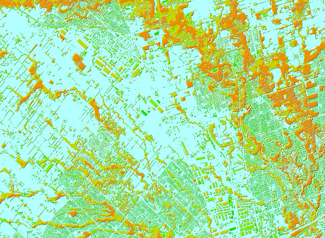
The rapid growth of 5G networks worldwide and the everyday use of LTE (4G) are changing how mobile operators approach network planning and optimization.
3D GEODATA: THE FOUNDATION OF PRIVATE 5G NETWORKS

In a world where everything is connected, more organizations are moving from public mobile networks to private 5G solutions — systems that provide complete control, higher security, and a platform for innovation.
DATA SAMPLES — U.S. Cities & Suburbs
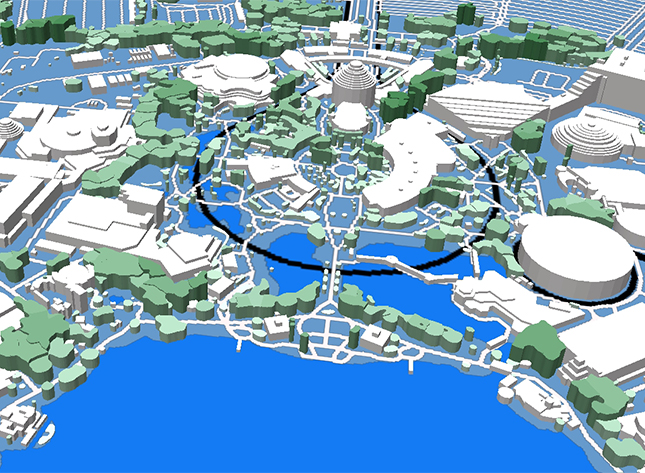
We’ve refreshed our DATA SAMPLES with new datasets for U.S. cities and suburbs: 3D city models, 2.5D geodata, and 2D regional maps. All datasets are available to download directly from the boodmoe website
Visiting Futurecom 2025 in São Paulo — Exploring Connectivity and Innovation in Latin America
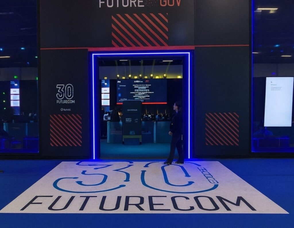
Our team recently visited Futurecom 2025, held from September 30 to October 2 at São Paulo Expo, Brazil.
3D MAPS OF LATIN AMERICA BY BOODMOE
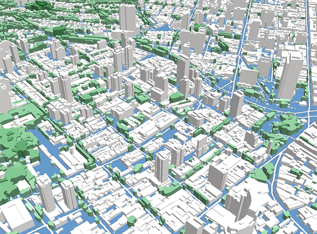
To showcase boodmoe’s capabilities in creating high-quality maps, we have prepared a 3D test map of São Paulo, Brazil.
FUTURECOM 2025:Build Your Future with Precision Geospatial Data

Futurecom 2025, taking place in São Paulo from September 30 to October 2, is the premier event for connectivity and innovation in Latin America.
High-Precision 3D Data Set of Singapore for 5G Network Planning and Urban Development
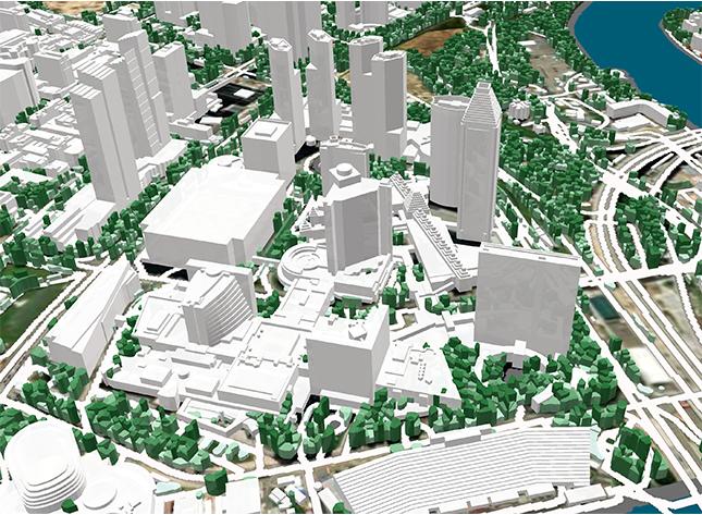
We are proud to announce the release of our new high-precision 3D model of Singapore, produced in 2025.
Flood Risk Assessment Through Advanced Geospatial Data

boodmoe LLC, in close collaboration with our partner company VISICOM, offers specialized maps optimized for hydrologic modeling, enabling precise analysis of drainage patterns across diverse landscapes – perfect for flood risk assessment and management.
10th America Digital Mexico Congress

Our team recently visited the 10th America Digital Mexico Congress, held on June 18–19, 2025, at the World Trade Center in Mexico City.
Advanced Satellite Monitoring for Sustainable Forest and Urban Vegetation Management

Forests cover approximately one-third of the Earth’s land surface and serve as the planet’s lungs by producing oxygen essential for life. Protecting these vital ecosystems from illegal logging, deforestation, forest fires, and the impacts of climate change has become increasingly urgent worldwide.