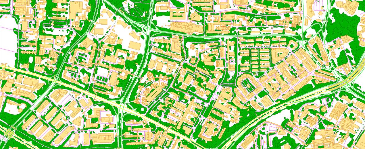
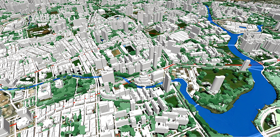
We are proud to announce the release of our new high-precision 3D model of Singapore, produced in 2025. The model covers the entire country and surrounding sea area, totaling over 735 square kilometers, and is available at 1-meter and 2-meter resolutions.
This nationwide dataset provides a highly accurate digital representation of every element across the territory, precisely identifying both artificial and natural obstacles— an essential foundation for modern infrastructure development and next-generation network planning.
Key Features:
- LoD 1.3 buildings
- 3D vegetation, separated by canopy layers
- Comprehensive elevation models: DTM, DSM, and DHM
- 25+ clutter classes
- Detailed transportation network, including international and regional motorways, city streets, railways, roads in tunnels, bridges, and overpasses.
The 3D data is delivered in all major RF planning software platforms, including Planet, Atoll, Asset, and others, and is specifically optimized for 5G mmWave rollout.
Our highly accurate digital models of both urban and rural areas are essential for nationwide 5G deployment. These models enable operators to plan mmWave networks with confidence— maximizing both coverage and capacity.
Additional Applications:
- City planning
- Development of urbanized areas
- Architecture projects
- Environmental management
Contact us at [email protected] for more details, free samples and case studies.