5G as a Foundation for Automated and Connected Mobility
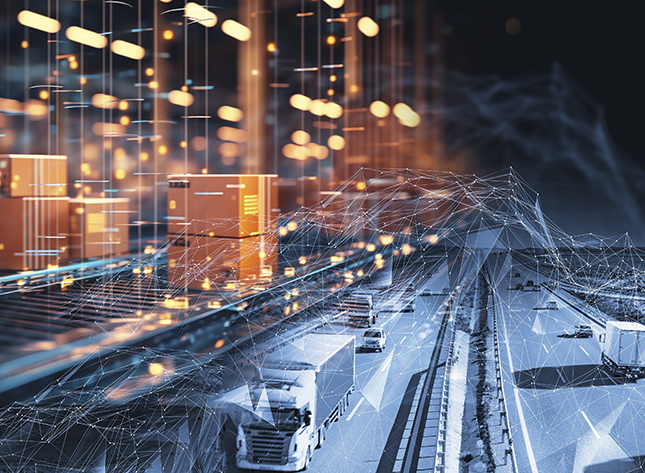
Connectivity is evolving rapidly, and 5G together with mmWave is reshaping how vehicles, infrastructure and digital platforms interact. Modern mobility is no longer just about autonomous vehicles, but about constant data exchange between cars, roadside systems and cloud services.