3D geodata sets for accurate 5G planning
Our 3D geodata are designed specifically for 5G network planning. 3D maps are produced as high-resolution data sets of 1m, 2m, or 5m resolution.
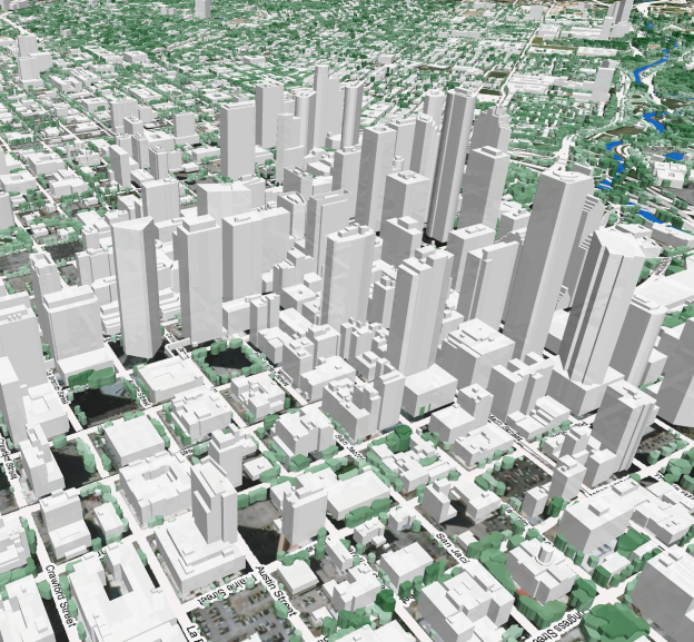
3D Models provide precise Digital Terrain Model and above-ground features such as buildings, vegetation, and engineering constructions. Highly-accurate 3D buildings and 3D tree polygons are essential for accurate RF planning in urban areas. We offer our customers precise and up-to-date 3D models of cities, regions and countries fitted to your purpose, territory and project requirements.
Our 3D models are compatible with all types of wave propagation models and can be delivered in any RF planning tools and GIS format – Atoll, Planet, Asset, ISC Telecom, Esri shp etc.