News
5G network planning is already a serious challenge that is only growing. From the deployment of nationwide networks beyond initial urban rollouts to the construction of private mobile networks, 5G RAN planning must be based on accurate information about the real world.
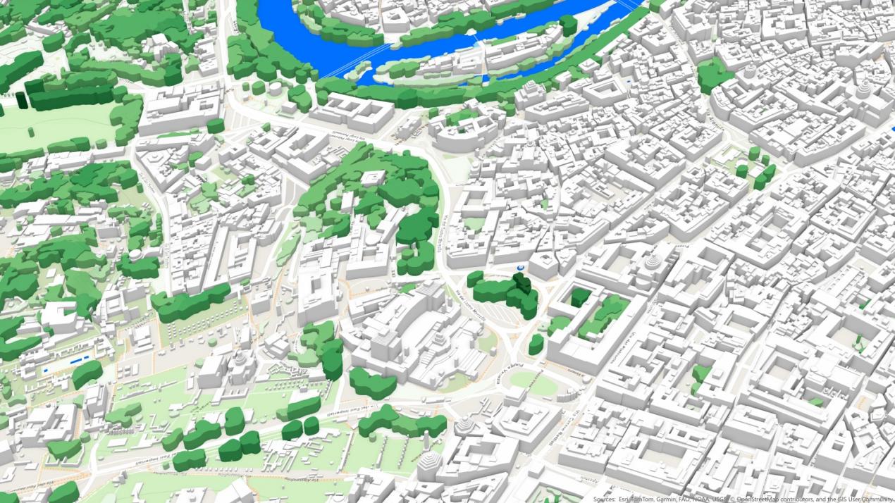
5G RAN planning involves integrating various data sources, including mapping, geodata, call traces, and others, to organize an efficient planning process. This process also requires the use of artificial intelligence and machine learning algorithms to manage and interpret the vast amount of data for accurate wireless coverage prediction. The role of 3D maps in this process is crucial.
The success of 5G networks depends on the ability to model radio wave propagation in different environments, such as urban areas, forests, mountains, etc. 3D models provide detailed information about building heights, terrain relief, and urban structures, which is essential for conducting realistic radio wave propagation simulations.
High-precision 3D maps offer unprecedented accuracy, providing detailed information about the surrounding environment. Geodata allow better forecasting of coverage gaps, obstacles, and signal propagation in both urban and rural settings.
Using 3D maps, operators can significantly improve the planning process, leading to faster and more reliable 5G network deployment.
Why are 2D and 2.5D maps with 5m and 10m resolution also important?
While high-resolution 3D maps (1m or 2m) are crucial for precise 5G planning, 2D and 2.5D maps with coarser resolutions (5m or 10m) still play an important role, particularly in the early stages of network planning or for analyzing large areas. Here’s why they are still needed:
- Large Area Overview: 2D maps with a 5m or 10m resolution allow planners to identify potential regions for further exploration and decide on the overall placement of 5G infrastructure.
- Initial Planning and Macro Analysis: During the early stages of network deployment, working with larger network cells provides a general understanding of coverage, population density, and geographic features. This approach is less labor-intensive and helps prioritize areas for further investigation using higher-resolution data.
- Cost-Efficiency: In some cases, 2.5D maps, containing obstacle height information as Clutter Height (DHM) matrices, are more cost-effective, especially for covering large rural areas where ultra-high precision may not be as critical.
- Faster Simulation: For initial simulations or high-level network modeling, 2D and 2.5D maps allow planners to run simulations more quickly with lower computational costs. Once potential infrastructure locations are identified, high-accuracy 3D maps can be used for detailed planning. By combining these elements—1m or 2m resolution 3D maps, precise terrain data, and strategic use of 2D and 2.5D maps with lower resolution (5m or 10m)—network planners can achieve optimal results in 5G network planning, ensuring effective coverage, reduced interference, and enhanced performance.
In conclusion, digital mapping plays a critical role in the efficient planning and deployment of 5G networks. By integrating high-precision 3D maps alongside 2D and 2.5D maps, digital mapping companies provide essential tools for accurate radio wave propagation modeling, better coverage prediction, and optimized network design. This technology helps accelerate 5G rollout, improve network performance, and ensure cost-effective solutions, making it indispensable for the future of mobile connectivity.