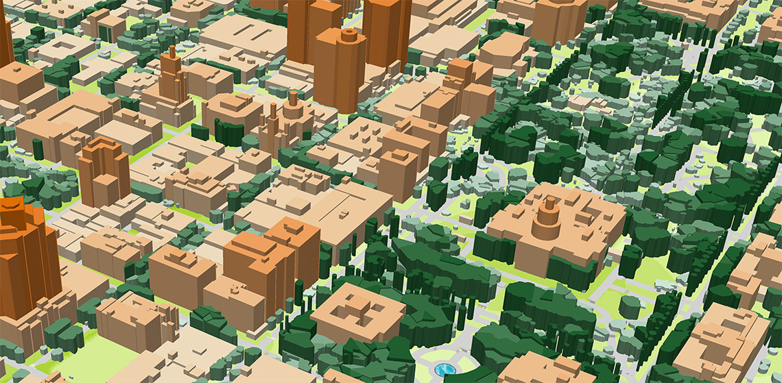
Sacramento (USA) 3D Map was produced as pilot project for accurate planning of 5G network
Sacramento 3D Model features:
• 1m resolution 3d buildings with small roof details
• 1-2m in terrain features
• detailed vector vegetation up to separate trees
• tailored to mmWave frequencies characteristics and IoT requirements
• support of any customizable geodata formats
Sacramento 3D geodata package for RF Planning contains: Digital Terrain Model (DTM), Digital Surface Model (DSM), highly accurate 3D Buildings with roof details, 3D Vegetation up to alone standing trees with heights, Clutter/Land Use/Land Cover Model, Obstacles Heights (Clutter Heights) Model, Vector model, Transportation networks etc.