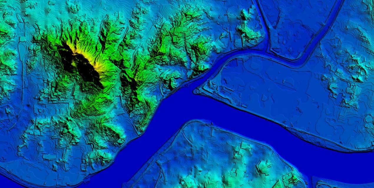
In most geospatial projects, elevation data plays a key role.
It is essential for terrain analysis, urban planning, telecom network deployment, hydrology, and 3D modeling.
At the same time, the term “elevation model” can refer to different types of data. Each type is designed to solve a specific task, so choosing the right one is critical for achieving accurate results.
Terrain Model (DTM): When the Ground Surface Matters
In many projects, the focus is on the land surface itself — without buildings, vegetation, or other objects.
- elevation differences
- slopes
- natural depressions
- water flow directions
For these tasks, a terrain model (DTM) is used. It represents the bare-earth surface, with all above-ground objects removed.
Typical use cases:
- engineering and infrastructure projects
- hydrological analysis
- runoff and erosion modeling
- telecom network planning
- base geometry for advanced 3D solutions
DTM is the foundation for many types of spatial analysis.
Elevation Data for Water and Environmental Projects
In water-related projects, a standard terrain model is often not sufficient.
Even small elevation errors or artificial objects can significantly affect how water behaves in a model.
To address this, terrain data is additionally processed:
- River channels are corrected.
- Water flow continuity is ensured.
- Artificial barriers (roads, bridges, embankments) are removed or adjusted.
The result is a hydrologically prepared terrain model that enables accurate simulation of water flow and flood zones.

Surface Model (DSM): When Real-World Conditions Matters
Some tasks require a realistic representation of the environment.
In these cases, it is important to consider not only the terrain but also everything located on it:
- buildings
- vegetation
- infrastructure
- other obstacles
A surface model (DSM) provides this information. It reflects the actual height of each point, including all natural and man-made objects.
Typical use cases:
- 4G/5G network planning
- visibility and coverage analysis
- urban 3D modeling
- solar energy analysis
DSM helps to understand how real-world objects affect visibility, signal propagation, and spatial planning.
Digital Height Model (DHM): For Telecom and RF Planning
A Digital Height Model (DHM) is a specialized dataset that represents obstacles such as buildings, man-made structures, and vegetation.
Each pixel contains a relative height value, making DHM suitable for radio frequency (RF) modeling.
Key applications:
- telecom network design
- signal propagation analysis
- interference modeling
- base station placement optimization
DHM can be delivered in formats compatible with RF planning tools such as Planet, Atoll, and ATDI.
It is also used in environmental applications, including flood modeling and other GIS-based analyses.
How We Work with Elevation Data
In real-world projects, a single data type is rarely enough.
Depending on the task, we combine:
- terrain models (DTM) — for land surface analysis
- surface and height models (DSM, DHM) — for buildings and infrastructure
- hydrologically processed terrain — for water and environmental scenarios
This approach allows us to:
- achieve accurate and reliable results
- reduce calculation errors
- adapt data to specific project requirements
Choosing the Right Model
Elevation data is not a one-size-fits-all product.
It is a tool that must match the specific task.
Selecting the right type of model directly impacts:
- analysis accuracy
- project efficiency
- final results
Well-prepared elevation data helps save time, reduce costs, and ensure predictable outcomes.
Contact us at [email protected] for more details, free samples, and case studies.