
Sacramento (USA) 3D Map was produced as pilot project for accurate planning of 5G network
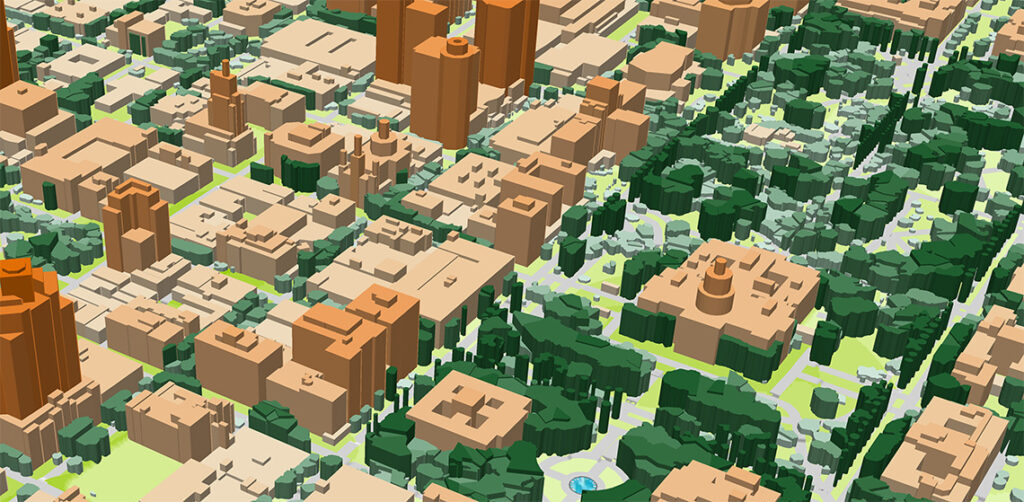
Digital Terrain Model (DTM), Digital Surface Model (DSM), highly accurate 3D Buildings with roof details, 3D Vegetation up to alone standing trees with heights, Clutter/Land Use/Land Cover Model, Obstacles Heights (Clutter Heights) Model, Vector model, Transportation networks etc.
Completed Projects – Q3 2018
∙ 3 Countrywide Models: Belarus, Nepal, Zambia. Total area – 1 107 394 sq.km∙ 2D Urban Models of the biggest Zambia cities
3D Map Data for 5G Projects

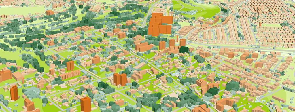
Explore our 3D Maps for 5G pilot projects in US. 1m resolution 3D Maps with detailed 3D Trees layer were produced for testing, planning and trials of 5G networks.
Join boodmoe in Los Angeles for Mobile World Congress Americas

3D Geodata for Dubai City (UAE) is now available

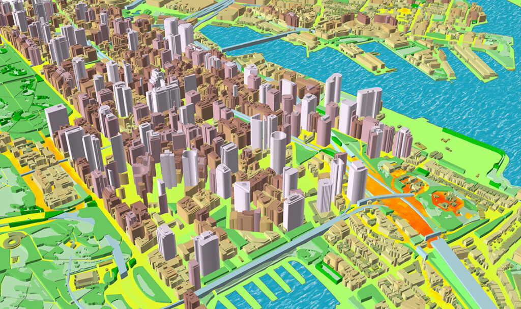
Dubai 3D Model – is a 1500 sq.km of advanced accuracy 3D Map produced for accurate planning of 5G networks.
3D GeoData for Australia is now available
Working with several telecom companies since 2015 we have collected a considerable data set of Australian cities – 2D maps, 2.5D and 3D maps – tailored to RF-planning projects over all the country.
3D Geodata for Bucharest City (Romania) is now available

410 sq,km of Bucharest city (Romania) was the first 3D map among other 3D mapping models for 9 biggest Romania cities. Bucharest 3D model produced for one of the biggest Romanian operators for 4G network development using Atoll RF planning tool.
3D Model of Santa Clara Pilot Project for 5G Network Planning
3D Model of Santa Clara is a pilot project for 5G implementation and test drive. It’s a first step to the understanding of advanced requirement of new-generation networks to geodata quality. We believe that our 3D data meet the demands of 5G signal sensitivity and fully fitted to 5G networks demands.
3D Model of Barcelona now available with high level of detail

boodmoe has currently finished 3D model dataset with advanced accuracy suitable for the needs of 5G planning, smart city planning, IoT.
3D GEODATA FOR 5G NETWORKS PLANNING

Network engineers need detailed and accurate 3D geodata that shows all the terrain features, as well as buildings and trees. With high-precision geodata, a microwave engineer can greatly reduce the need for the antennas and improve the efficiency of planning between the two antennas.