
FULL COUNTRY COVERAGE GEODATA OF SINGAPORE FOR 5G NETWORK PLANNING
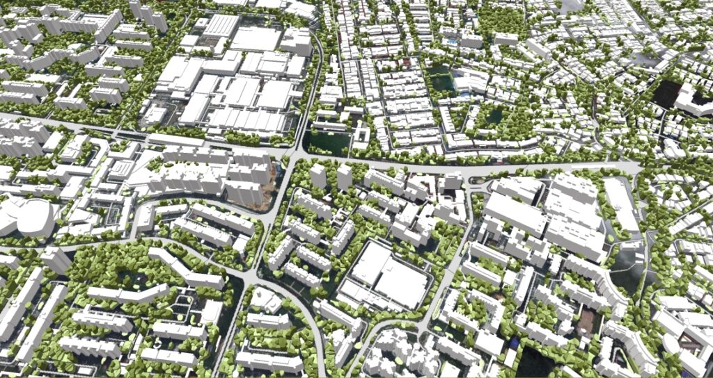
The project includes full coverage of 3D vegetation, 3D building vectors, 3D obstacles (bridges, chimneys, etc.), Road network, Digital Terrain Model (DTM), Digital Surface Model (DSM), Clutter/ Land Use classification.
3D GEODATA READY FOR 5 CANADIAN CITIES
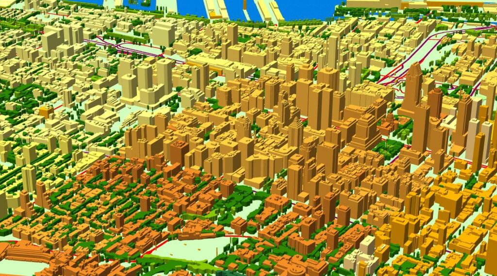
We have completed a large and comprehensive 3D project, which encompasses five Canadian cities.It was produced for massive MIMO mm-wave network planning (5G) and advanced 3D simulation in urban environment.
SEASONS GREETINGS AND OUR BEST WISHES FOR A HAPPY NEW YEAR FOR ALL OUR PARTNERS AND CUSTOMERS

The boodmoe team together with its partner VISICOM successfully accomplished 3D, 2D and 2.5D RF-planning projects for customers in 35 countries around the world, supporting the biggest players in the telecom market in 5G networks deployment.
Digital Map Of Marseille

Pyongyang GeoData for 5G Network Planning

This mapping product covers 700 sq. km of Pyongyang 3D city model (Capital of North Korea).The delivered data has been converted into the ESRI GRID / SHP format.3D geodata accuracy – 2 m in X,Y,Z
3D City Model Of Montreal, Canada For 5G Network Planning
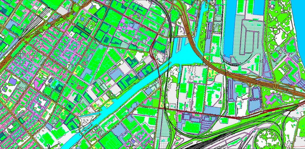
3D model of Montreal is high-quality 3D geodata for Montreal city center, covering about 50 sq,km.
3D Geodata for UAE Cities

This is our new project, over which we worked fruitfully, and you can see our great result.
North America’s Largest 5G Event

We are pleased to invite you and visit our booth 604.boodmoe and Visicom team will showcase the best-advanced projects, including the 3d digital high precision models for 5G generation network planning.
3D Map Data of South Korea Available

If you want to plan and optimize wireless 5g network – 4G, 5G, LTE, our company can assist you, we will provide you with the best 3d geodata, which you need for further planning.
3D Sloped Roofs Digital Model

The high level of accuracy including small buildings details is required for precise modelling not only in the CBD area of the city but also in suburban and residential areas. Even village buildings can include complex architectural shapes.