News
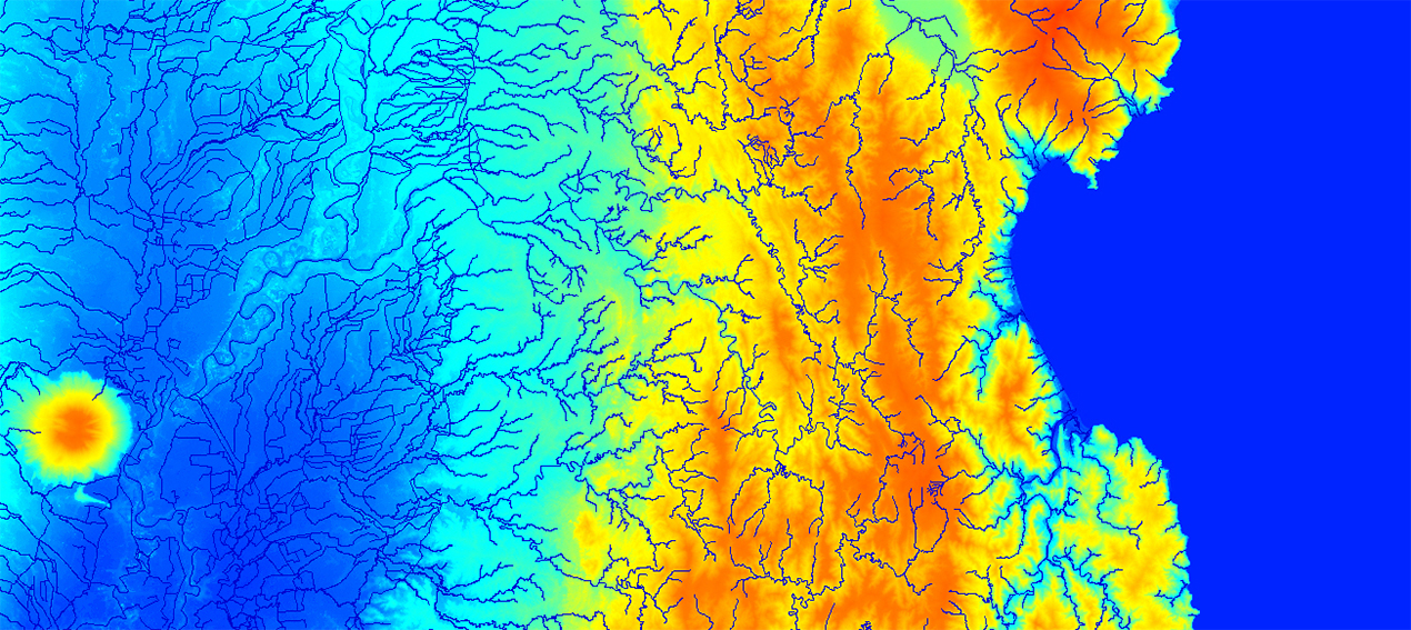
Hydrography is becoming increasingly complex. Data volumes continue to grow, project timelines are getting shorter, and the demand for accuracy and compatibility keeps rising. This is especially true in Southeast Asia, where thousands of islands, dense river systems, extensive coastlines, and frequent natural events create major challenges for planning and analysis.
We address these challenges by combining national hydrographic datasets with AI-powered satellite imagery processing. Our workflows automate the detection and classification of water features while maintaining consistent quality across large-scale territories. As a result, clients receive connected, ready-to-use data that integrates easily into existing GIS and enterprise systems.
We work across the entire region, including:
• Philippines
• Indonesia
• Malaysia
• Vietnam
• Thailand
• Singapore
• and other countries across Southeast Asia.
Our final product— the Water Network Vector Dataset— provides a unified data structure with standardized attributes such as feature name, type, class, area, and shoreline length.
In Southeast Asia, water defines infrastructure, connectivity, and risk levels. That is why accurate hydrographic data is not simply a map, but a tool for faster, more informed, and more resilient decision-making.
Our hydrographic databases are designed for professional applications and include:
• complete nationwide coverage
• detailed regional and urban-level datasets
• connected river and drainage networks
• standardized geometry and attributes
• GIS-ready formatting with no additional preprocessing required.
The database includes full country coverage:
• rivers and drainage networks
• coastlines and maritime boundaries
• lakes, reservoirs, canals, wetlands, and estuaries
• islands and coastal features.
Additional data layers and custom extensions can be developed depending on project requirements.
Our hydrographic data supports a wide range of applications, including:
• Telecommunications Network Planning
• Flood Risk Analysis
• Government GIS systems
• Smart City platforms
• Logistics and Navigation
• Infrastructure Planning
• Environmental monitoring
• Emergency response systems.
Contact us at [email protected] for more details, free samples, and case studies.