News
Meeting the Reality of Modern 5G Deployment
5G deployment today goes far beyond dense urban areas. Operators are expanding networks across entire regions— including suburban zones, rural territories, and infrastructure corridors.
Compared with previous generations, such as 3G and 4G, 5G network planning requires significantly higher accuracy and more detailed geospatial data. 5G networks are also more sensitive to environmental factors such as terrain, buildings, and vegetation.
This creates a practical challenge: how to scale network planning without losing accuracy.
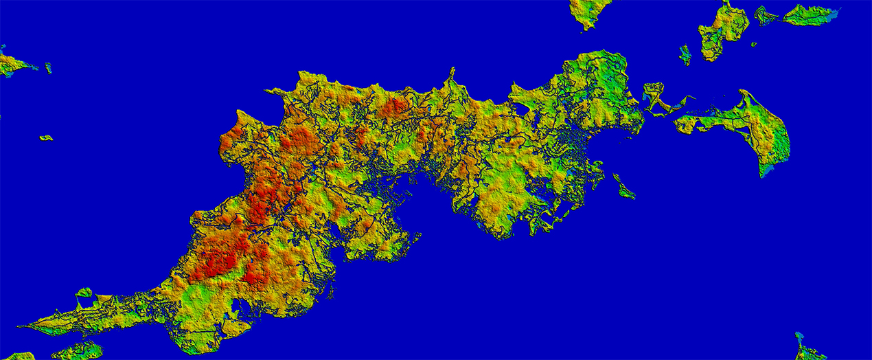
Reliable geospatial data plays a central role. Without a clear understanding of terrain, land use, and obstacles, even advanced planning tools cannot deliver consistent results.
Why 2.5D Mapping Makes Sense
High-resolution 3D models are essential in dense urban environments, but using them everywhere is not always practical due to cost and processing requirements.
2.5D models offer a more balanced approach.
They combine terrain elevation with obstacle heights (through clutter height models), providing enough detail for realistic simulations while keeping datasets lighter and easier to process. This makes them especially effective for large-scale planning.
2.5D Geodata Works Well When:
- Your project involves large rural areas and small towns.
- The building structures are simple and regular, with relatively flat or uncomplicated terrain.
- You are focused on macro-cell network design, such as 4G/LTE planning in suburban areas, where clutter height data can provide sufficiently accurate predictions.
- You need to refine coverage predictions.
Designed for Large-Scale Planning
2.5D regional models are well suited for early-stage and large-area planning tasks.
- quickly analyze wide regions
- identify potential base station locations
- estimate coverage at a regional or national level
- plan efficiently outside dense urban areas
At this stage, speed and scalability are more important than extreme detail— and this is where 2.5D delivers the most value.
Improving Prediction Accuracy
Even outside dense cities, signal propagation depends heavily on terrain and surrounding objects.
2.5D models improve prediction quality by including:
- Digital Terrain Models (DTM)
- land-use / clutter classification
- clutter height data (DHM)
With typical resolutions of 5m or 10m, these models provide reliable accuracy for large-scale 5G planning while maintaining efficient processing performance.
Supporting Multiple Use Cases
2.5D models are widely used for:
- railway and highway connectivity
- rural expansion
- nationwide rollout projects
A Balanced and Cost-Effective Approach
Hybrid Geodata Strategies
| Scenario | Recommended Geodata |
| Rural 5G/LTE planning | 2.5D 10m resolution |
| Suburb | 2.5D 5m resolution or Hybrid: 2.5D 5m +3D 5m |
| Territories along railways | 2.5D 5m resolution or Hybrid: 2.5D 5m +3D 5m in settlements |
This approach reduces costs, speeds up simulations, and allows projects to scale efficiently.
By integrating 2D, 2.5D, and 3D datasets, operators can move from large-scale analysis to detailed design efficiently. Their consistency across large territories makes them especially valuable for infrastructure planning.
Contact us at [email protected] for more details, free samples, and case studies.