boodmoe

News

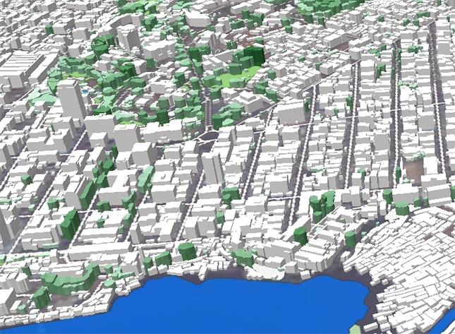
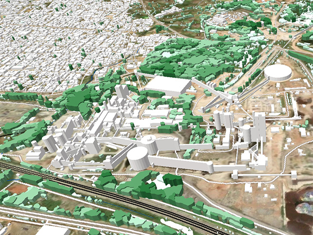
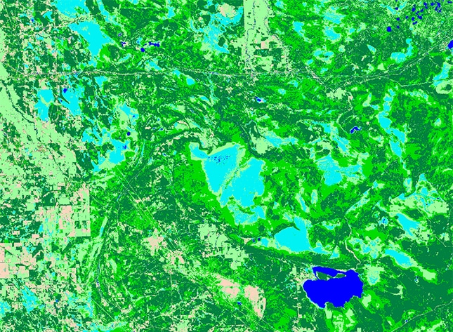
WHAT DOES AN RF MODEL ACTUALLY SEE? FROM TERRAIN TO CLUTTER HEIGHT

Radio signals don’t travel through empty space.
Out in the real world, they run into hills and valleys, forests and open fields, city blocks, lakes, and objects of every height. That’s why, in network planning, an accurate picture of the environment can matter as much as the propagation model you choose.
New Geospatial Data for Sierra Leone

As infrastructure and urban development projects continue across West Africa, access to reliable geospatial data becomes increasingly important for planning and analysis.

New Project in Senegal

Together with Visicom, boodmoe expands African Geospatial Coverage. Urban growth across West Africa continues to accelerate, creating increasing demand for accurate geospatial data for infrastructure, telecom, and urban development projects.

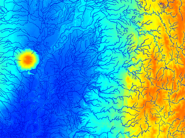
HYDROGRAPHIC DATA FOR SOUTHEAST ASIA

Hydrography is becoming increasingly complex. Data volumes continue to grow, project timelines are getting shorter, and the demand for accuracy and compatibility keeps rising.